Explore two synthetic river views
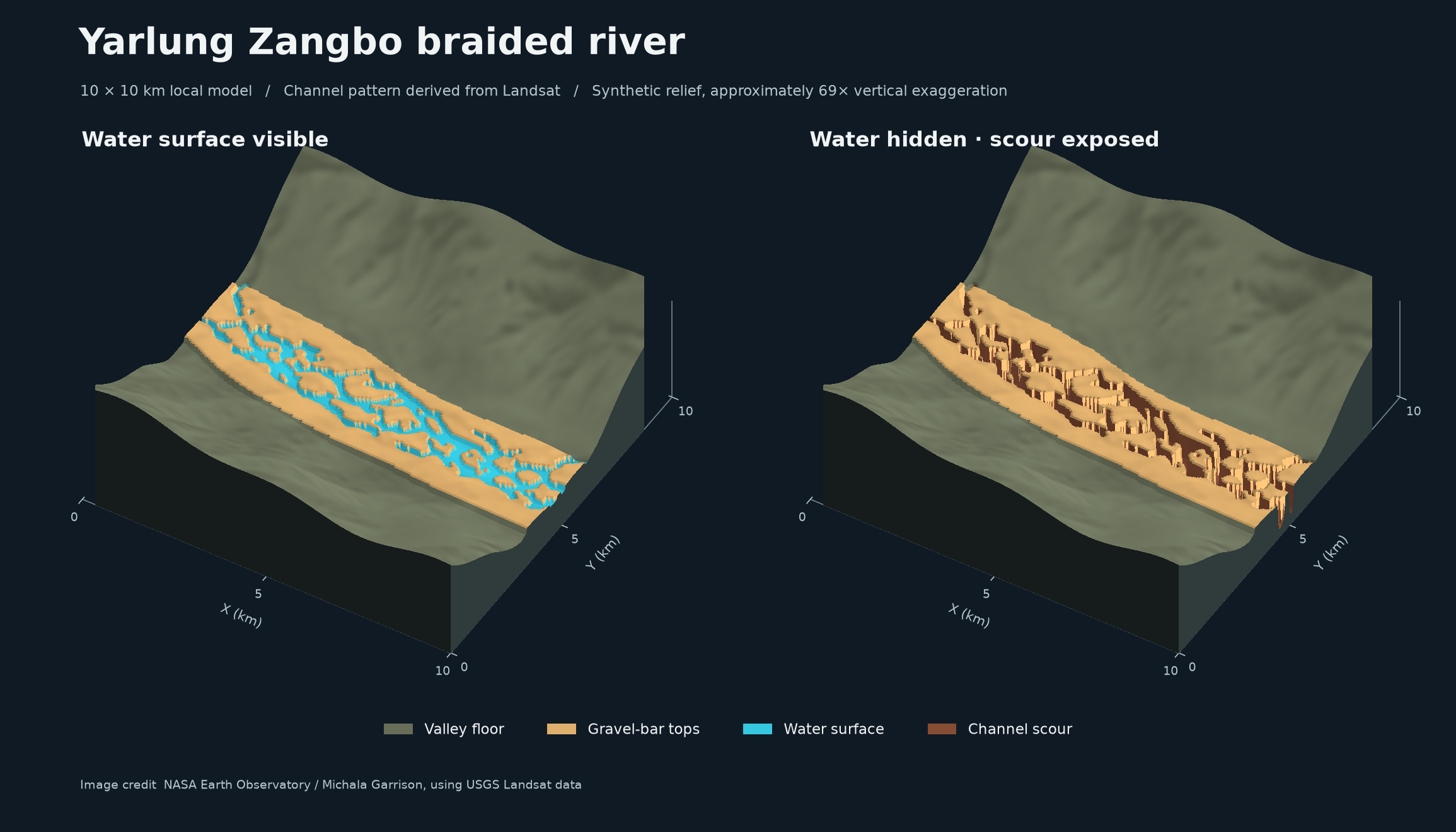
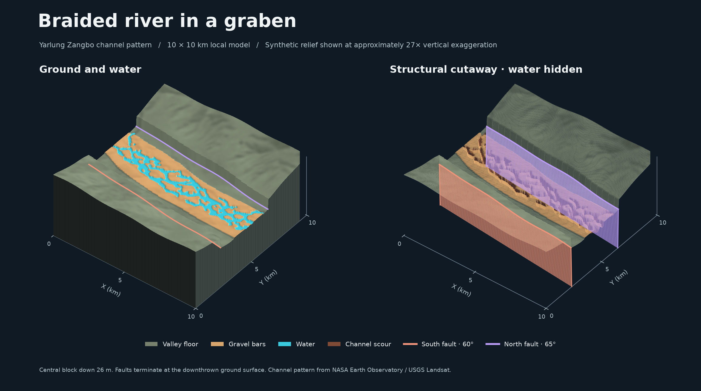
The channel pattern visible in Landsat imagery provides a starting shape. Terrain elevations, scour, gravel-bar relief and fault displacement are modeled illustrations in a 10 × 10 km local frame, rather than measured topography or an interpretation of the source landscape.
The river view compares water coverage with exposed model scour. The graben view introduces two modeled normal faults and an imposed 26 m downthrow. The previews use different vertical exaggeration—approximately 69× and 27×—so their apparent relief should not be compared at the same scale.